UMaprecommended by the médialab
lets one to create maps with OpenStreetMap layers in a minute and embed them in your site
Tools – Software
Yohan Boniface et le Collectif OpenStreetMap
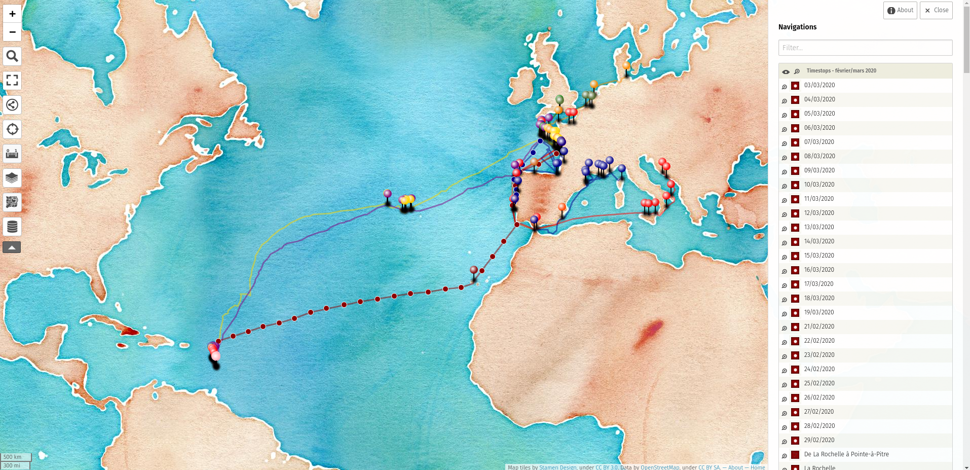
Our Khartis tool allows to very easily visualize with many options dataset and build static maps with it, but one might sometimes require to project data onto browsable interactive map layers.
UMap fills perfectly this need by allowing to load data under a variety of formats such as CSV, GeoJSON, etc. then edit and visualize it on one of the many map layers offered by OpenStreetMap.
processing, exploration and visualization
all audiences
usable
2012